See the Change
Before & after satellite imagery of real detections
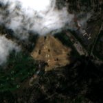
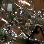 Feb 2024
→
 Feb 2025
Lancaster County — 10-acre warehouse construction
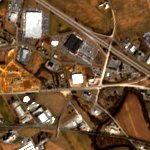
 Aug 2024
→
 Sep 2025
Lancaster County — New warehouse site preparation
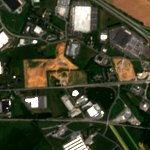
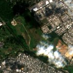 Aug 2024
→
 Aug 2025
Philadelphia — 54-acre residential subdivision
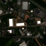
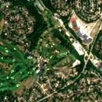 Aug 2024
→
 Aug 2025
Pittsburgh — Golf course converted to subdivision